
1. Locate the Incident
Place reported or detected activity within the correct farm, plot, district or monitored area.

Burn Incident and Crop Residue Management Platform
Review reported or detected burn incidents alongside land details, weather conditions, field updates and residue availability. The platform helps agricultural, environmental and local teams manage field action, retain case evidence and organise crop-residue collection without separating the work across different system.
Burn management involves more than locating an event on a map. Teams also need to understand the site, assign responsibility, record field action and determine whether the remaining crop material can be collected and used.The platform keeps these activities attached to the same incident and location.
Deployment Options: Cloud, Hybrid or Secure On-Premise

The platform organises this information around the affected location. Teams can record what happened, assign the responsible officer, follow progress and close the case with supporting evidence. Where crop residue is available, its quantity, collection requirements and onward movement can be managed through the same programme.
See the location, conditions, field action and available residue connected to each reported event.
Place reported or detected activity within the correct farm, plot, district or monitored area.
Review weather, wind, access, nearby infrastructure and other factors relevant to field action.
Send each case to the appropriate officer, inspection team, department or emergency unit
Store field notes, photographs, notices, action records and closure information with the incident. roads, bridges, ports, facilities and logistics areas.
List the material type, estimated quantity, location and collection window after the incident or harvest. terrain, weather, visibility, access and surrounding activity.
Retain observations, Track collection requests, transport activity, quantity collected and delivery to the approved recipient. material, user actions and report history.
Functions for teams managing burn incidents, field activity, compliance records and crop-residue movement.

Receive approved alerts or manual reports and place each incident within the relevant farm, site, district or programme area.

Assign responsibility, record inspections and follow each incident through action, evidence gathering and closure.
Review wind, temperature, humidity, terrain, access conditions and nearby assets when deciding priority and response.
Register available crop material and coordinate interest, pickup, transport and final handover between participant
Tools for recording burn activity, coordinating field teams, maintaining compliance evidence and managing crop-residue collection.
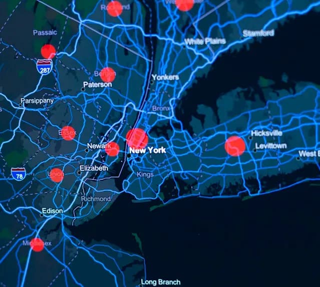

The platform includes controls for programme records, departmental access, field evidence and information sharing.

See how the platform can help teams manage incident records, field action, compliance evidence and residue collection through one programme environment.